Lake levels decreasing
Published 6:57 pm Tuesday, March 26, 2019
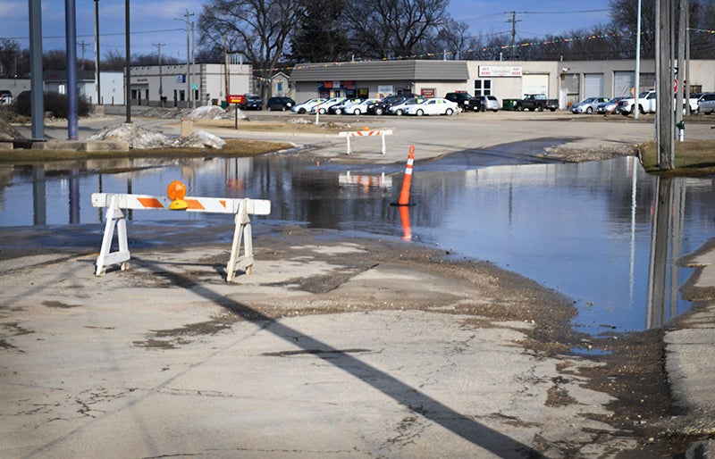
- A portion of East Clark Street near the intersection with East Main Street remains barricaded off due to standing water Tuesday. - Colleen Harrison/Albert Lea Tribune
As water goes down, when will East Main Street reopen?
Water levels on Albert Lea and Fountain lakes peaked on Saturday and have gone down about two-tenths of a foot each day since Saturday, according to Albert Lea City Engineer Steven Jahnke.
U.S. Highway 65 remains closed in both directions, though Jahnke said he is hopeful the road will be reopened late this week, though it is too soon to say definitively. The road has been closed for a full week.
The engineer said other than initial flooding in the basements of some houses when snow first started melting, the city has not seen many major impacts from flooding this spring, other than the closure of Highway 65, which is also known to many local residents as East Main Street.
“We’ve had the best scenario we possibly could,” Jahnke said. “It gets warm during the day and then gets below freezing at night. It gives us a chance to catch up.”
He advised people to avoid taking left turns on Katherine Street onto Bridge Avenue until Highway 65 has reopened because of traffic congestion on Bridge Avenue.
He said there has been a lot of discussion about temporary traffic control measures until the thoroughfare is open — including a three-way stop at the intersection of Katherine Street and Bridge Avenue — but the conclusion reached was that there is too much traffic on Bridge to make this option work effectively.
Instead, he is encouraging people to try to make their turns at intersections with existing traffic controls at Garfield Avenue and Marshall Street.
“We believe that’s better than trying to put in a three-way stop,” he said.
Jahnke said the Albert Lea Wastewater Treatment Plant went from processing 14 million gallons a day over the weekend to 9 million gallons a day as of Tuesday. Normal flows are 3 1/2 to 4 million gallons a day.
Though the area lakes have been high, he said they have not reached the same flood levels seen in 2016.
Scott Christenson, conservation technician at the Shell Rock River Watershed District who helps monitor lake levels, said based on the monitoring he has taken part in, the area lakes and the Shell Rock River are stabilizing.
Christenson said the Shell Rock River flow is right under 800 cubic feet per second, which is fairly normal, at the monitoring station of the river near Gordonsville. The river peaked at the end of February, when the flow was close to 1,800 cubic feet per second.
More News


-
Construction Updates
-
-