Sheriff: Weather Service confirms Hartland damage caused by EF1 or EF2 tornado
Published 4:46 pm Thursday, December 16, 2021

Several homes sustained major roof damage during the storm. Sarah Stultz/Albert Lea Tribune

Numerous trees were downed throughout Hartland. Sarah Stultz/Albert Lea Tribune

A house owned by J.R. and Joyce Henderson sustained severe damage in Hartland from downed limbs and debris from nearby homes. Sarah Stultz/Albert Lea Tribune

Debris littered several streets in Hartland on Thursday morning. Sarah Stultz/Albert Lea Tribune

Crews clean up in the back of the post office in Hartland on Thursday. Sarah Stultz/Albert Lea Tribune

The back wall of the building in downtown Hartland that hosts the post office was ripped off Wednesday night during severe weather. Sarah Stultz/Albert Lea Tribune

A light pole in Hartland's downtown is bent over from the high winds during the storm Wednesday night. Sarah Stultz/Albert Lea Tribune

Arcadian Bank in Hartland sustained severe exterior damage Wednesday night during a storm that came through the area. Sarah Stultz/Albert Lea Tribune

Wires hang down in the road on a street Thursday morning near a home that sustained damage in Hartland. Sarah Stultz/Albert Lea Tribune

Trees were snapped behind a residence in Hartland. Sarah Stultz/Albert Lea Tribune
|
Getting your Trinity Audio player ready...
|
The National Weather Service has confirmed that a tornado caused the damage in Hartland Wednesday night, according to Freeborn County Sheriff Kurt Freitag.
The tornado originated 900 yards in the southwest corner of Freeborn County, traveled to the northeast, went east of Alden and then continued to Hartland. The weather agency estimated the tornado to be an EF1 or EF2, he said.
The National Weather Service issued a tornado warning for Freeborn County at 6:41 p.m. Wednesday, and severe weather with winds gusting to 70 mph entered the county minutes later.
The sheriff stated dispatchers received the first report of damaged property at 7:20 p.m., to which deputies and area fire departments responded.
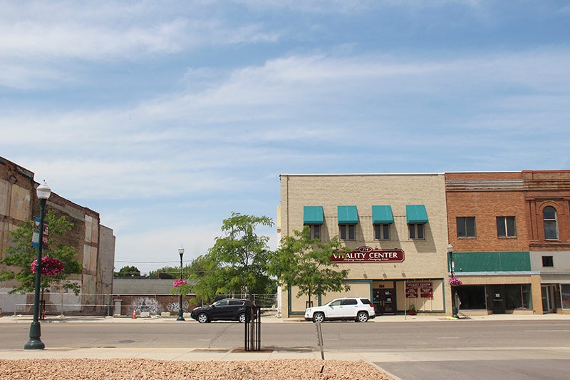
Businesses in the downtown of Hartland received substantial damage, along with nearby houses. Several downed branches and trees were reported throughout the city.
The Sheriff’s Office stated power is not yet restored to the city of Hartland, and Xcel Energy will work through the night to restore power hopefully on Friday. Cleanup is progressing, and the Freeborn County Highway Department will assist Friday with large debris removal from the roads in town.
Other damage was reported in the cities of Glenville, Conger, Alden and Hayward, and some of the surrounding rural areas received damage to houses, machine sheds and barns.
The sheriff said Freeborn-Mower Electric Cooperative has worked to replace about 40 broken power poles on the east side of Freeborn County, and Dairyland Power Cooperative is replacing 13 broken power poles in the west side of Freeborn County. An additional nine other broken poles are in Faribault County.
The sheriff asked that only those who live in Hartland, or who are working to help clean up, come to the city so clean-up efforts aren’t hampered. The area is still not a completely safe environment to walk or drive through.
According to the National Weather Service, the storm was a serial derecho tracked from Kansas to Wisconsin that resulted in over 400 reports of damaging wind and several tornadoes. Preliminary reports state there were 19 tornadoes from the system and some areas with hail greater than two inches in diameter.
No tornado has ever been recorded in December in Minnesota. The latest tornado on record in the state had been on Nov. 16, 1931, near Maple Plain.
Before the storms, strong southerly winds led to record high temperatures in much of the Upper Midwest. Temperatures exceeded 60 degrees across southern Minnesota, melting the remaining snow from the winter storm the weekend prior.
After the thunderstorms, strong gradient winds and widespread wind gusts in excess of 50 mph developed for several hours late Wednesday night and into the overnight hours.